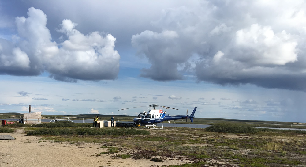
All geophysical survey data, be it ground or airborne, contains errors. The objective of quality control is to ensure that the usability of the survey results is not impacted by these errors and that the data noise remains below set thresholds.
Posted by Brenda Sharp Sep 26, 2017 2:14:00 PM | Field Projects, Geophysical Surveys

All geophysical survey data, be it ground or airborne, contains errors. The objective of quality control is to ensure that the usability of the survey results is not impacted by these errors and that the data noise remains below set thresholds.
RONACHER MCKENZIE GEOSCIENCE INC.
6 – 2140 Regent St.
Sudbury, Ontario, Canada
P3E 5S8
(705) 419 - 1508
Copyright © 2021 Ronacher McKenzie Geoscience Inc. | Toronto, Sudbury, Ontario Canada | Privacy Policy | Created by The Brit Agency