Tie lines or Control lines have always been used for the levelling of magnetic data, but essentially ignored with respect to other geophysical methods. How about using them, not in the traditional sense, but as a guideline to the overall sense of the regional gradient of a survey? Although the examples to follow are EM, this can equally be applied to other methods.
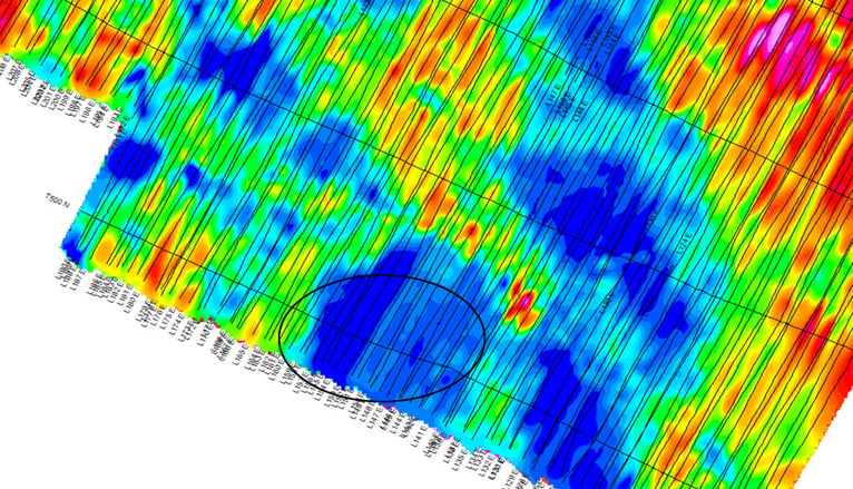
The image below, is a grid from a TDEM dataset. Let's look at the circle region. It seems near the southern survey boundary that there is a small levelling issue.

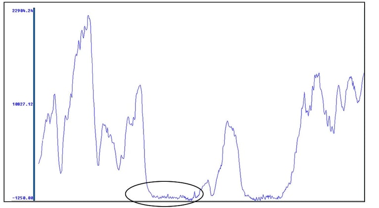
When we examine the tie line, there is no indicator of an offset.

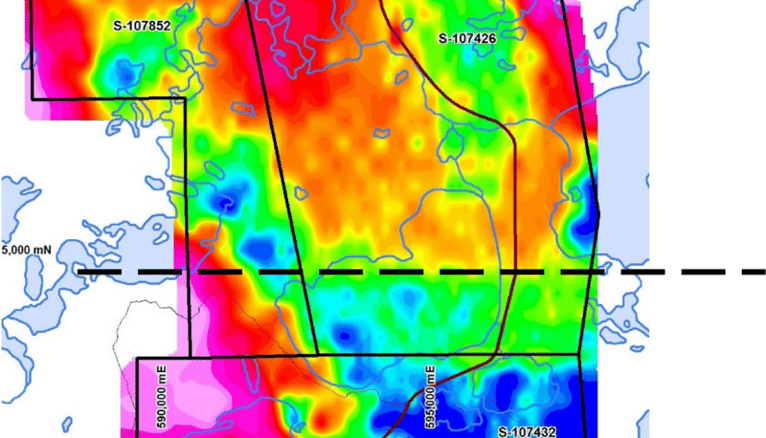
And on this dataset below, the lines and tie lines should be examined to determine if the conductivity really does drop suddenly south of the dashed line, or whether it is caused by questionable levelling.

The bottom line - use all the tools (in this case tie lines) at your disposal, to better understand your survey data.
If you need help with geophysical analysis, get in touch with us. We'd be pleased to hear about your project, and will recommend services and support to help you achieve quality results.


