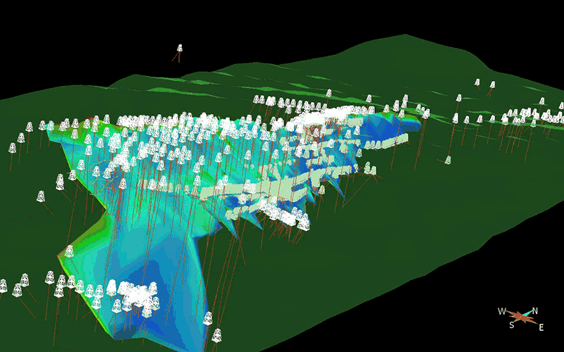
Geological modelling has come a long way from paper recording and charting.
Plotting drill hole data on cross-sections, and then flipping through the sections to determine whether rock units or mineralization extend from one section to the other, was a common procedure in the past. The result was a 2-dimensional model representing the 3-dimensional geological bodies. Interpretation and analysis was time consuming and tedious. The geologist needed to use their imagination to visualize the mineralized body or a lithological unit in 3D to better conceptualize what was subsurface.
And we are interested in the subsurface, which is not a two-dimensional thing.


